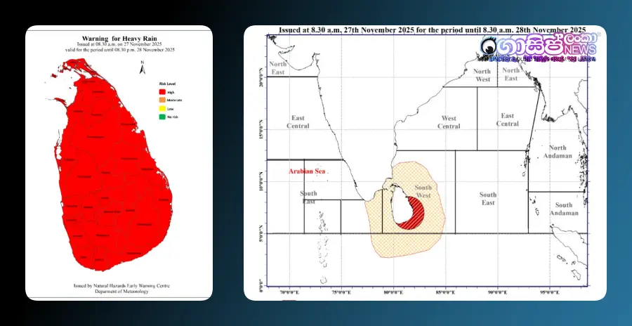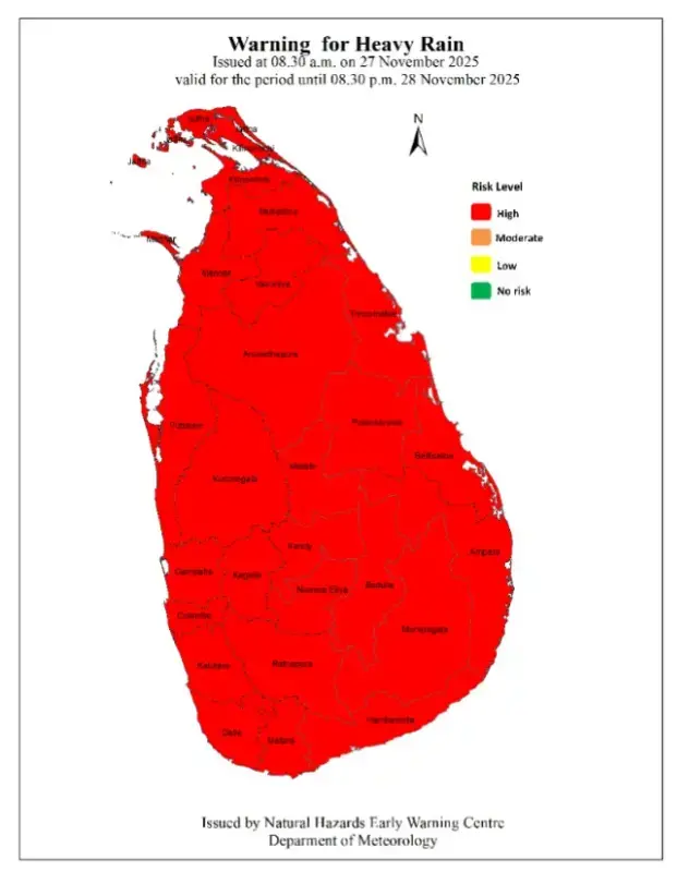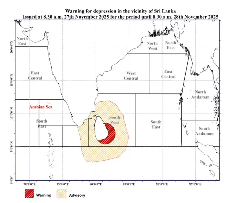
The Early Warning Centre for Natural Disasters of the Department of Meteorology has issued a red notice regarding the depression prevailing near Sri Lanka. The low-pressure area that was located southeast of Sri Lanka has now developed into a depression, centered approximately 210 km southeast of Batticaloa. The department states that this system is very likely to further develop into a deep depression within the next 12 hours and move northwestward, leaning towards the north.
Due to the influence of this weather system, frequent rain or thundershowers are expected in many parts of the island over the next few days, along with strong winds. A warning has been issued for very heavy rainfall exceeding 200 mm in some places, especially in the North-Central and North-Western provinces, and the Trincomalee district.
Furthermore, heavy rainfall exceeding 150 mm is possible in the Northern, Central, Sabaragamuwa, Uva, and Western provinces, as well as in the Galle, Matara, and Batticaloa districts. Other parts of the island may also experience rainfall exceeding 100 mm in some areas.
The public is urged to take steps to minimize dangers caused by very strong winds, which may reach speeds of 60 to 70 kmph at times in many parts of the island. Weather authorities advise seeking assistance from local disaster management center officials in case of an emergency and to remain vigilant about these adverse weather conditions, which are expected to persist until November 30th.
The wind speed in the sea areas around the island may increase to 60 to 70 kmph at times, and the sea areas could become very rough. Therefore, fishing and naval activities in the deep and shallow sea areas around the island are advised to be suspended until further notice. The statement also mentions the possibility of sea waves rising to about 2.5 to 3.5 meters in the offshore sea areas from Puttalam to Kankasanthurai via Colombo, Galle, Hambantota, and Trincomalee.
In addition, special warnings have been issued for multi-day fishing vessels operating in the deep sea areas of the Bay of Bengal. Due to the influence of Cyclone "Senyar," wind speeds in the relevant sea areas may increase, and sea conditions could become very rough. Those engaged in fishing activities in the marked warning sea areas should immediately evacuate those areas and continuously monitor future weather forecasts.


![Gossip Lanka News [English] Gossip Lanka News [English]](https://blogger.googleusercontent.com/img/a/AVvXsEhYm2aFFq-bIW1nWX-RrqnPFoIsVos6_VCVz8BpLt0QJi55GNXHXC2fugeRvL0qUStEuCfs7Sfu6ZiSlhrkldxfGuE_wzy5gitY6rMZ2KSi8VBbGvkgXLks37RwZV-4-HKbWiNLRxB8C_r1e4z3mpxFTMPDJPEADoG8E-bZteWFipeD5KNGbjvCfqEfKw=s300)